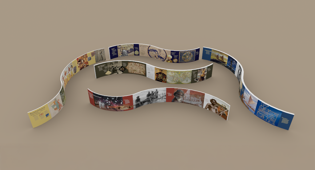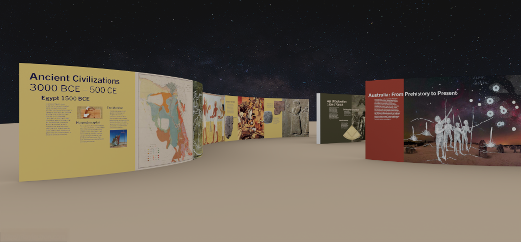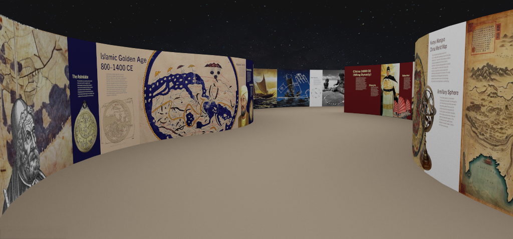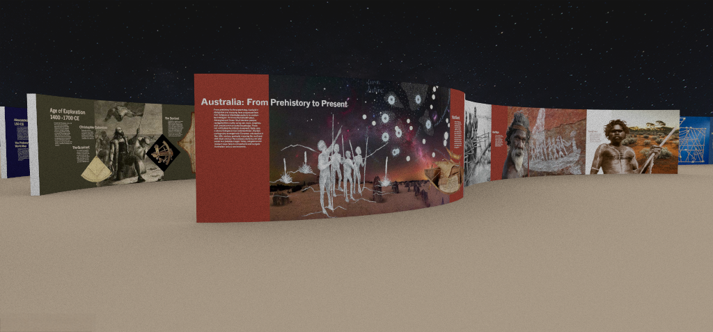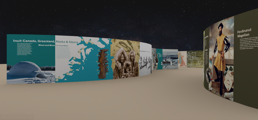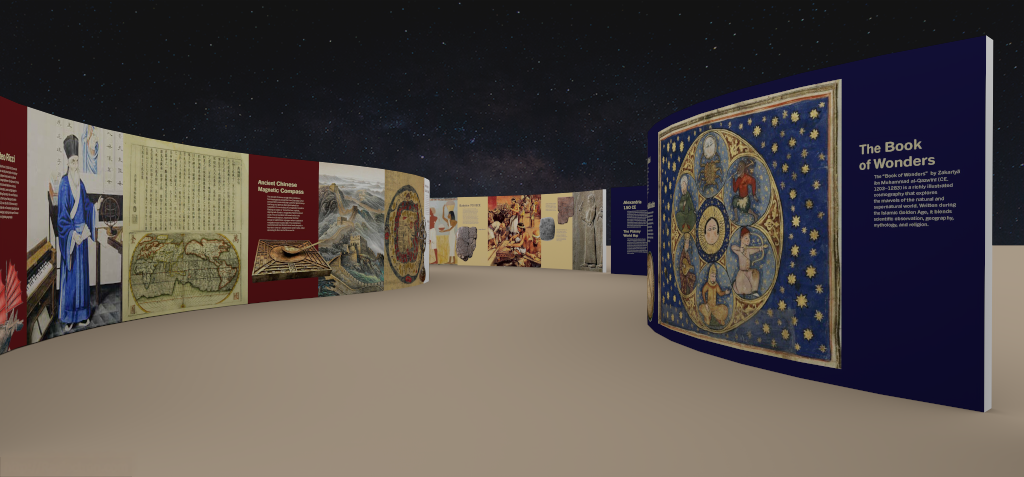
This exhibition traces the global evolution of mapmaking and navigation, showing how different cultures have sought to understand and represent the world. A series of gently curved panels, inspired by the arc of the earth and celestial motion, breaks the straight sightline and encourages visitors to pause and engage more deeply with each section.
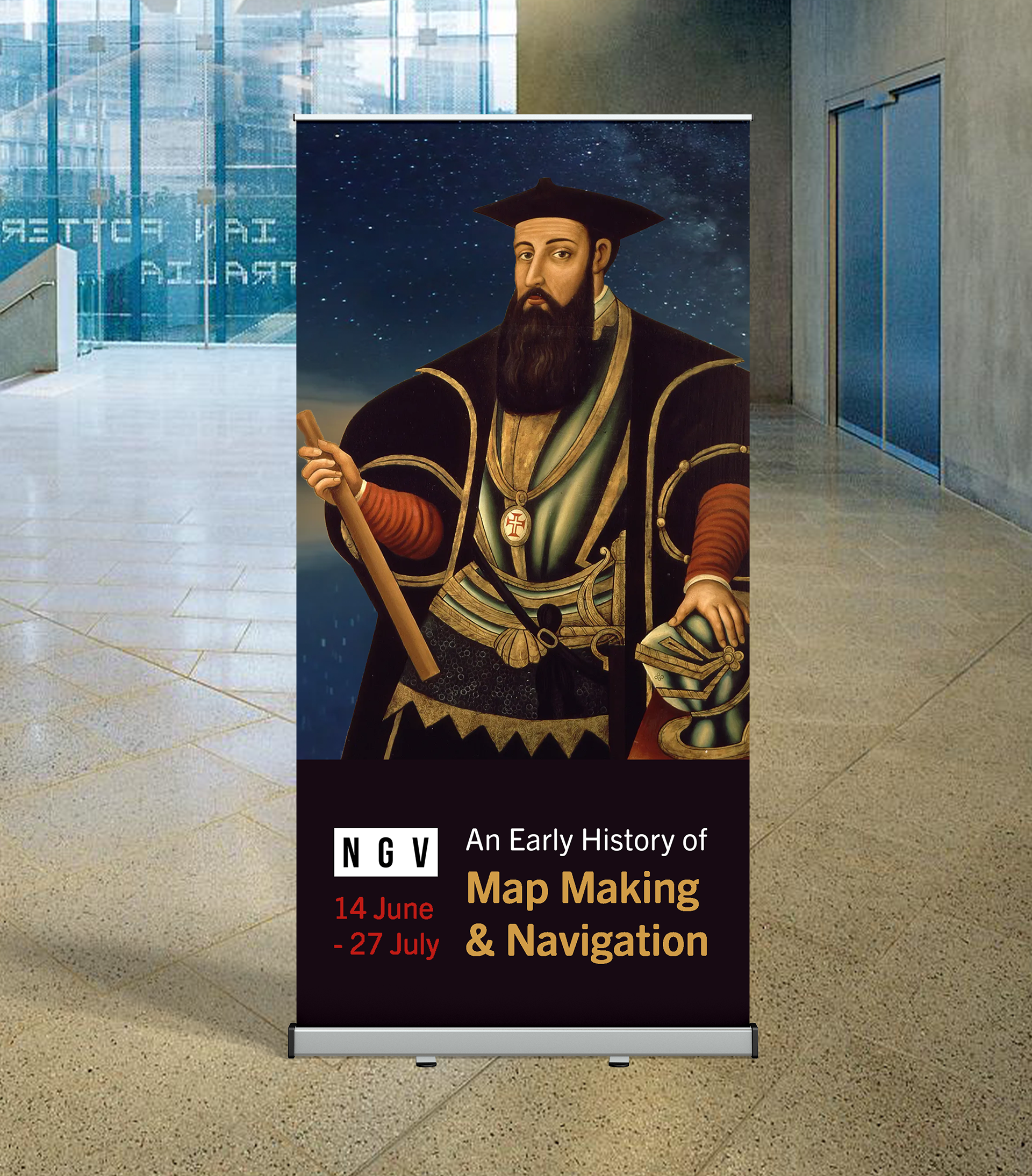
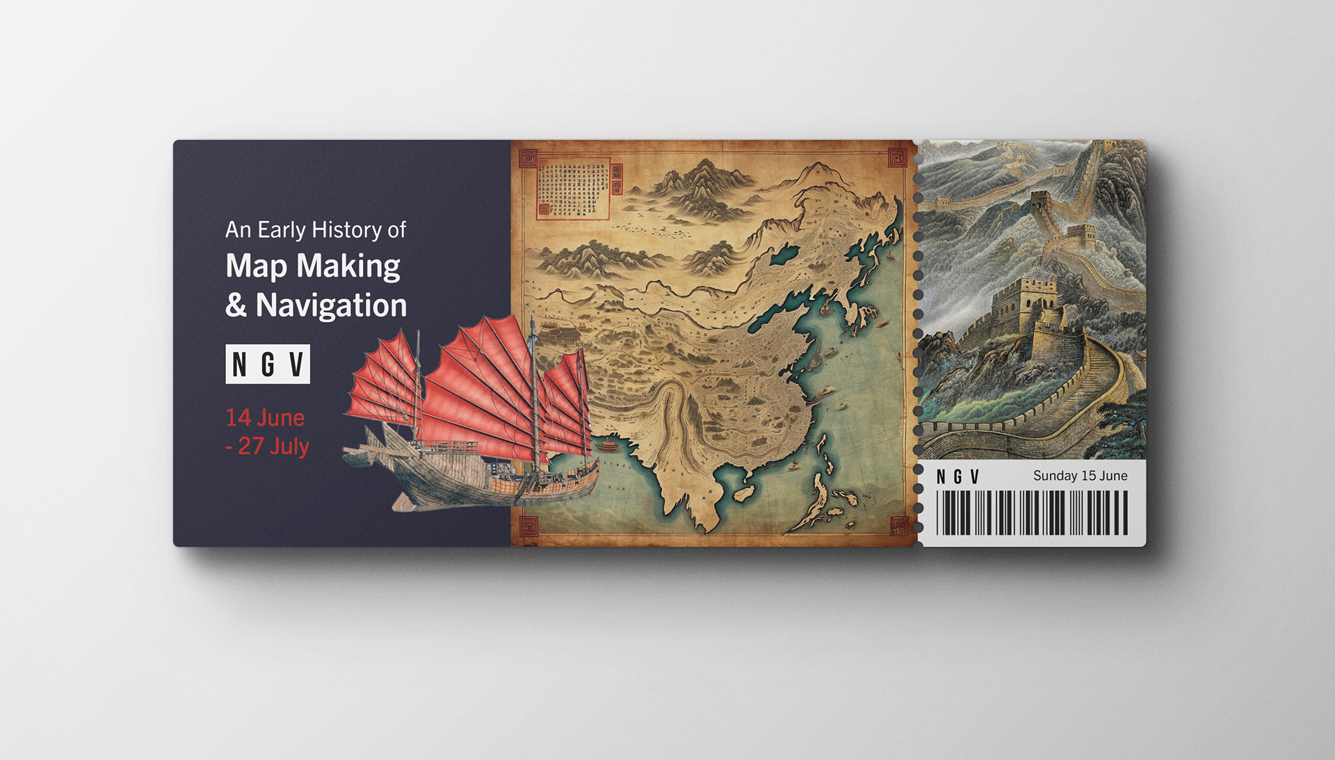
Each panel focuses on a different region and era, such as ancient Egypt, Imperial China, Polynesia, and Classical Europe. Distinct colour palettes, like golden yellow for Egypt and deep red for China, create a visual rhythm that guides visitors through the space.
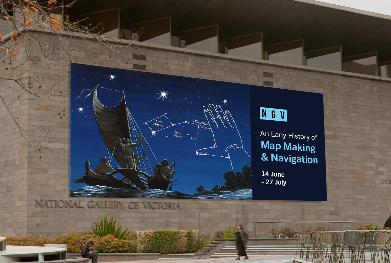
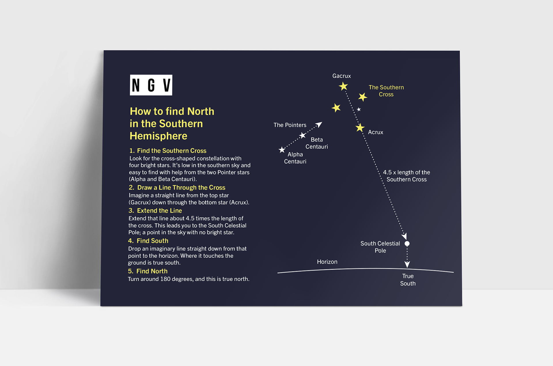
Interactive elements include a ceiling-mounted planetarium projection of the southern hemisphere sky. Visitors can use printed star map postcards to locate celestial markers, such as the Southern Cross, and learn how early navigators used the night sky to find direction. These experiences highlight how simple tools and cultural ingenuity laid the foundations for modern cartography.